Location and Boundaries
Mooloolaba and Alexandra Headlands are bounded by the Coral Sea in the north, the Mooloolah River in the east, the Sunshine Motorway in the south, and Chaplin Place, Sugar Road, Centenary Crescent, Oogar Street, Surf Road, Gardak Street, Wirraway Street and Maroubra Street in the west.
Settlement History
Settlement of the area dates from the 1860s, with land used mainly for timber-getting, grazing and farming. Gradual growth took place in the late 1800s as Mooloolaba became a timber depot and wharf. However growth stopped in the late 1890s as river transport declined and the timber depot was relocated. Land was subdivided in the late 1910s, with expansion in the 1920s. Significant residential development took place from the 1960s, spurred by tourism, with many apartments and units built. Rapid growth occurred during the 1980s. The population continued to increase between 1991 and 2006 as new dwellings were added to the area, particularly high density housing. The population was relatively stable between 2006 and 2011.
Major Features
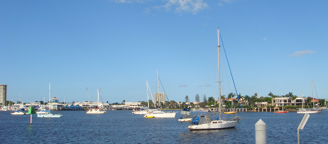
Major features of the area include Underwater World, Mooloolaba Wharf & Marina, Mooloolaba Central Shopping Centre, Alexandra Headland Beach, Mooloolaba Beach, Alex Bluff Park, Alexandra Forest Bushlands, Alexandra Park, Bindaree Crescent Park, Buhk Family Park, Carinya Street Park, Carwoola Crescent Park, Charles Clarke Park, Cheese Block Park, Culbara Park, Elanora Park, Emerald Woods Park, Kabi Park, Mooloolaba Foreshore Park, Mooloolaba Rotary Park, Mooloolah River Park, Nelson Park, O’Connors Park, Pacific Park, Pangarinda Place Park, Perraton Green Park, Polit Station Road Park, Pirate Ship Park, Trotter Park, Wilkes Family Park and one school.