Location and Boundaries
Palmwoods, Chevallum, Montville, and Hunchy are bounded by the locality of Flaxton, Kondalilla Falls Road, Montville-Mapleton Road, the localities of Dulong and West Woombye, Petrie Creek, Taintons Road and the locality of Woombye in the north, the Bruce Highway and Rainforest Road in the east, the localities of Ilkley, Eudlo and Landers Shoot and Maleny-Montville Road in the south, and the locality of North Maleny and Obi Obi Creek in the west.
Settlement History
Settlement of the area dates from the 1880s, with land used mainly for timber-getting, farming and citrus growing. Growth took place during the late 1800s, spurred by the opening of the railway line in 1891. Significant residential development did not occur until the post-war years, with rapid growth from the 1970s. The population increased substantially between 1991 and 2006 as new dwellings were added to the area, particularly in Palmwoods. Growth slowed between 2006 and 2011 as fewer new dwellings were added.
Land Use
Palmwoods, Chevallum, Montville, and Hunchy are rural and growing township area. Rural land is used mainly for agriculture.
Major Features
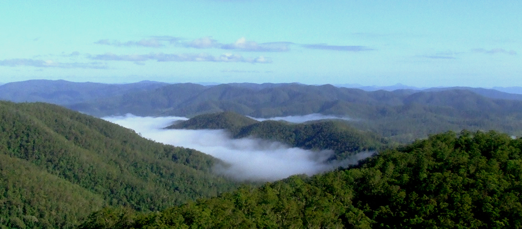
Major features of the area include Eudlo Creek National Park, Kondalilla National Park, Briggs Park, Brudo Court Park, Federation Park, Jubilee Park, Kolora Park, Lawson Park, Lemon Park, Montville Memorial Precinct, Montville Sportsground, Old Orchard Neighbourhood Park, Orange Grove Park, Palm & Littler Park, Palm Grove Park, Russell Family Park, Sir Francis Nicklin Park, Taronga Park, Woombye War Cemetery, Flame Hill Vineyard, Palmwoods Town Centre, Palmwoods railway station, Crawford & Foster Lookout, Razorback Lookout and several schools.